Hike

Tent Ridge Horseshoe

Distance

10.5 km

Time

5.5 h

Elevation

850 m

Difficulty

Medium
According to AllTrails, this hike is easier going clockwise. We misread that and went counterclockwise. Here is how the day unfolded.

The hike starts on the side of a gravel road, where we pulled over and parked. We couldn't find any outhouses, so we used nature's bathroom (the bushes) and went on our merry way. The path begins relatively flat and gains a gradual incline as you head deeper in. The bottom of the trail is forested, so we picked up plenty of company along the way: mosquitoes, horse flies, and every other bug you can imagine.

As we started to gain a little elevation, we hit a stretch where the trail was buried under a landslide of fallen trees, roots, and plants. No technical skill required, but we did have to pick our way through a jungle gym of branches and stumps.

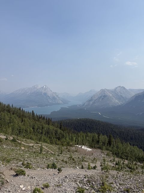
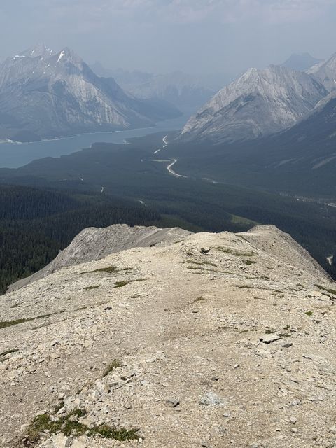
Eventually the forest cleared and opened onto a field of rock. With no shade, the heat climbed fast, so we reapplied sunscreen and pushed on toward the first viewpoint. Despite the incline, the path here was well packed and easy to walk. At the top waited a great view of the valley below and an overlook of Spray Lakes Reservoir.

The day was a little smokey, which clouded a clean view of the lake, but it was still beautiful. We took a short break for protein bars and looked up at the next section. A tall, very vertical wall of scree and loose gravel. It looked intimidating, but with proper hiking boots there were enough patches of packed rock to get solid traction and footing.

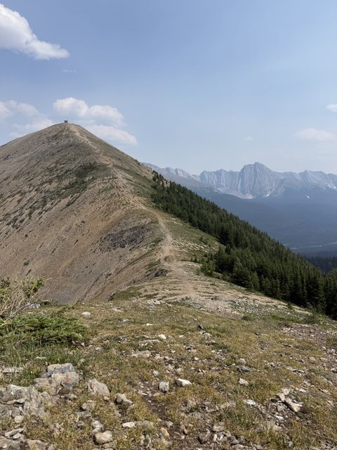
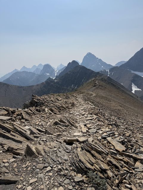
After that tougher climb, it was smooth sailing. We walked a beautiful ridgeline that opened onto the long ridge where we would spend most of the day. Along the way we passed a steady stream of hikers coming toward us, and more than a few mentioned we had picked the harder direction. We were a little confused, but we couldn't complain about the payoff. Going counterclockwise gave us miles of mountain ranges laid out in front of us the whole way. At the second viewpoint we stopped for lunch: Subway sandwiches we had ordered that morning.

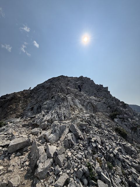
After lunch came the final stretch toward the viewpoint with the weather station. The climb up that last mountain threw everything at us, with intense wind, loose rock, and steep slopes. We worked our way up little by little and reached the station. At that point we figured the hard part was behind us and the scrambling was done. We were very wrong. Going counterclockwise leaves a long stretch of near vertical boulders, scree, gravel, and loose dirt for the way down. We ended up on all fours, slowly picking our way back toward the valley.

Near the bottom we found clean piles of snow and a cold stream, which we used to wash our faces and cool off. The rest of the hike was a gradual decline through rooted forest paths. Not difficult, but definitely longer than expected.

Once we reached the car, cold energy drinks and air conditioning were waiting for us, which made recovery a whole lot easier. Overall the hike wasn't too tough, and it packed in a great mix of scrambling, forest, ridge walks, and valleys. A great introduction to a moderate difficulty hike!

All reviews